Meteory : diagnosticet suivi environnemental
La plateforme environnementale n°1 des territoiresMeteory aide les collectivités territoriales dans la réalisation de leur Plan Climat, Air, Énergie et Territorial en rassemblant toutes les données environnementales nécessaires en une seule et même plateforme intuitive, simplifiant non seulement le diagnostic, mais aussi le suivi de leur territoire.
Notre objectif
Faciliter l'accès à la donnéeenvironnementale
Aujourd’hui, les données permettant aux chargé·e·s de mission PCAET de suivre leur territoire sont difficilement accessibles, voire pour certaines tout bonnement indisponibles. Quant à celles qui le sont, elles ne sont pas toujours à jour, et leur interprétation n'en demeure pas moins complexe. Pour palier ce manque d’accessibilité, Meteory propose une plateforme unique permettant de facilement consulter toute la donnée environnementale d’un territoire. Notre but est d’offrir une vision à la fois globale et précise de la situation actuelle d’un territoire, mais aussi de son l’évolution.
En tant que Responsable de Pôle Transitions Écologiques, la plateforme Meteory représente un très bon outil d’aide à la décision. Le regroupement des différents jeux de données au sein d’un outil unique permet de mieux croiser les données. De plus, le fait d’accéder directement à des cartes et à des graphiques me permet de gagner beaucoup de temps.


Tarifs
Des Tarifs sur mesure
Toute la donnée environnementale de votre territoire, en un seul abonnement.
Afin de répondre au mieux aux besoins de nos clients, nous appliquons une grille tarifaire basée sur les jeux de données demandés, ainsi que sur la surface totale du territoire à analyser. Si vous êtes intéressé, n’hésitez pas à nous contacter par email à l’adresse pierre.blanchet@meteory.eu, ou bien directement au 06.49.36.24.91 pour toute question ou demande de devis. Nous reviendrons vers vous dans les 24h qui suivent.
Diagnostic Séquestration Carbone
Mesurez la séquestration carbonede votre territoire
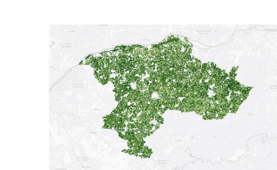
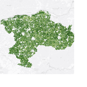
Séquestration Carbone
-2.1 %De carbone séquestré dans les sols de France en 2023 par rapport à 2022.
Effectuez un bilan des flux et de la quantité de CO2 stockée dans les sols et la biomasse de votre territoire. Identifiez les zones stockant le plus de carbone, mais aussi celles qui en stockent le moins. Comparez, analysez, comprenez et trouvez le moyen le plus durable d’améliorer le potentiel d’absoption global de votre territoire dans le but d’atteindre la neutralité carbone.
Diagnostic de l'occupation du sol
Surveillez l'artificialisation des solsau cours du temps
Établissez un bilan de l’artificialisation des sols de votre territoire sur ces dernières années, et adaptez votre politique environnementale. Appuyez votre Schéma de Cohérence Territoriale et vos plans locaux d’urbanisme sur des données fiables, et mesurez leur impact au cours du temps afin d’atteindre l’objectif Zéro Artificialisation Nette avant 2050.
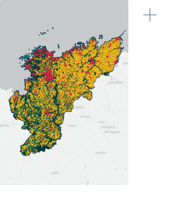
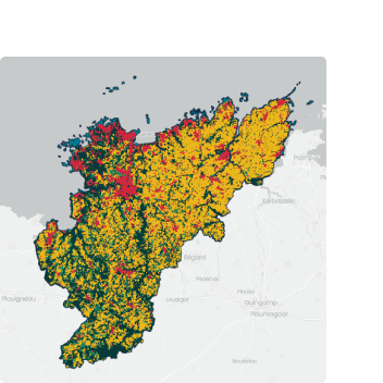
Urbanisation
+5.6 %De territoires construits en France entre 2020 et 2023.
Diagnostic de vulnérabilité aux impacts du changement climatique
Analysez la vulnérabilité de votre territoireface au changement climatique
Étudiez les risques climatiques actuels et futurs auxquels votre territoire est exposé. Mesurez leur probabilité, localisez les zones à risque, et adaptez votre PCAET en conséquence.
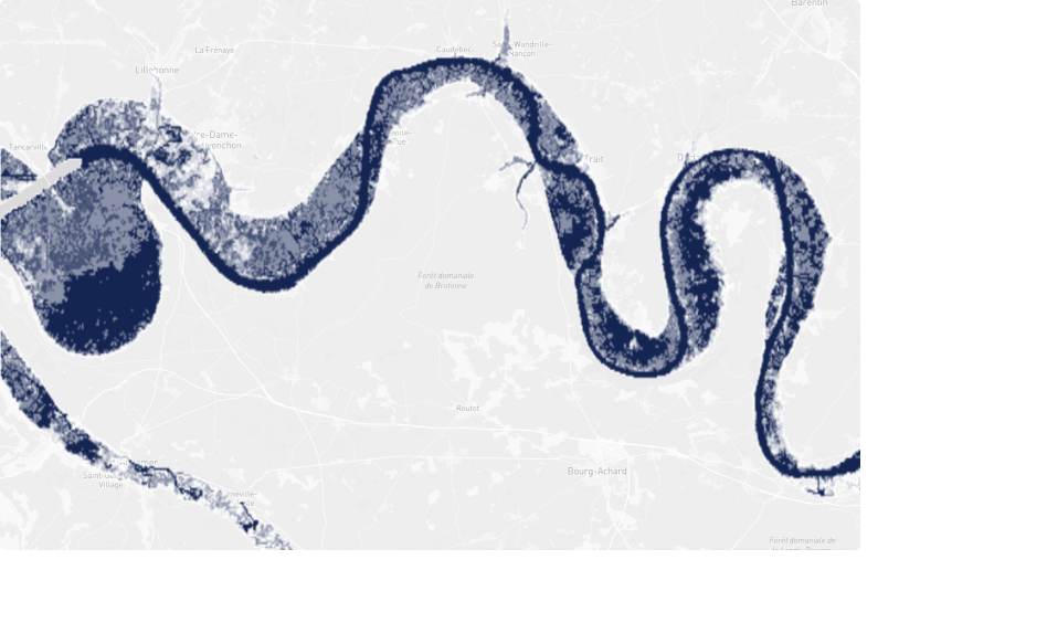
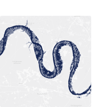
Risques d'innondations
+6.8 %Augmentation des risques d’inondations depuis 2021