Our Model
Model creation pipeline
Let us guide you step-by-step through our process of model creation!
The initial step involves harnessing the wealth of data provided by various satellites. They offer unparalleled monitoring capabilities, transcending human limitations and geographical boundaries to provide a comprehensive perspective on our planet.
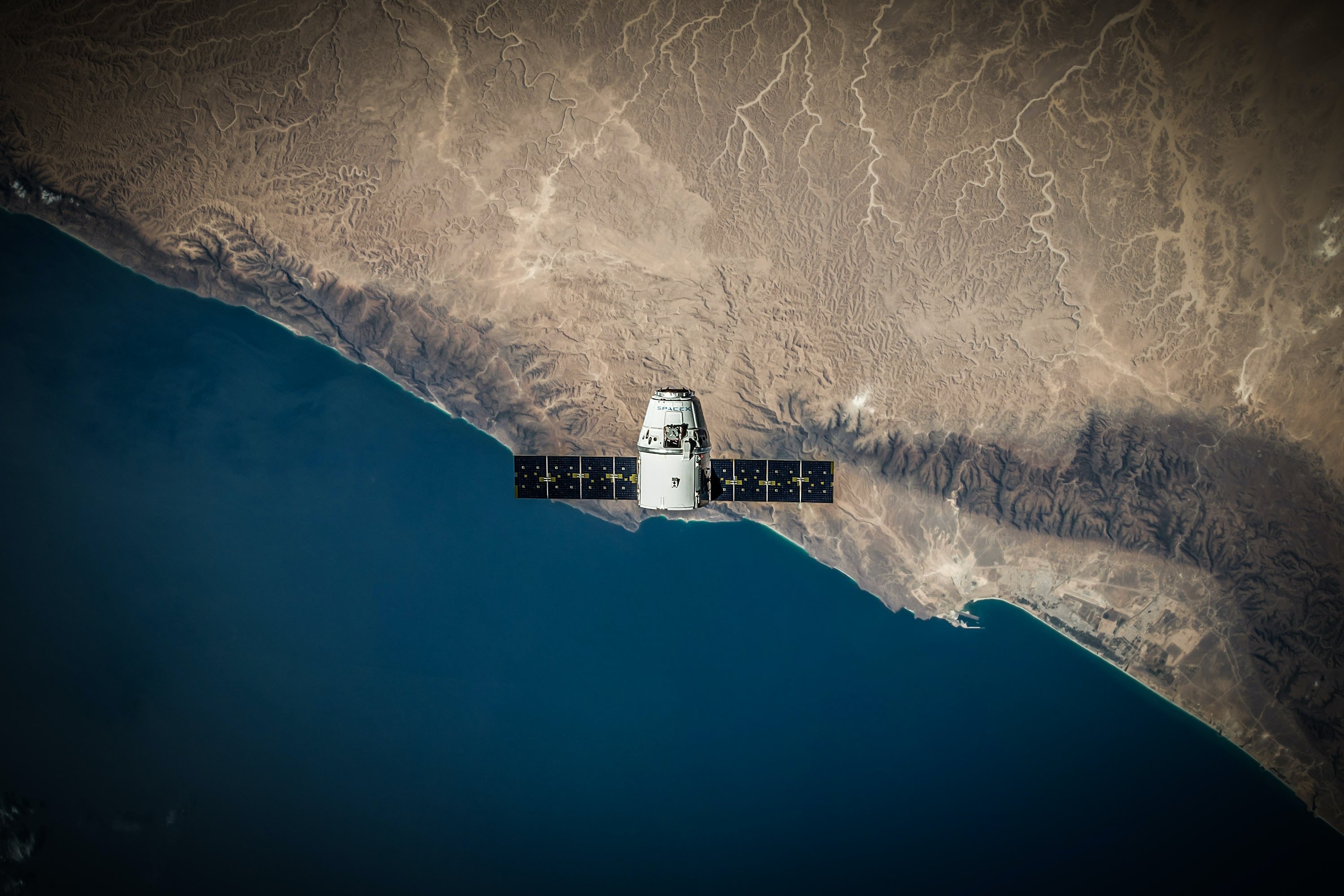
Satellites equipped with a range of sensors, from optical and multi-spectral to radar and thermal, expand our ability to collect diverse data, spanning from ground temperature, vegetation health, and biomass.
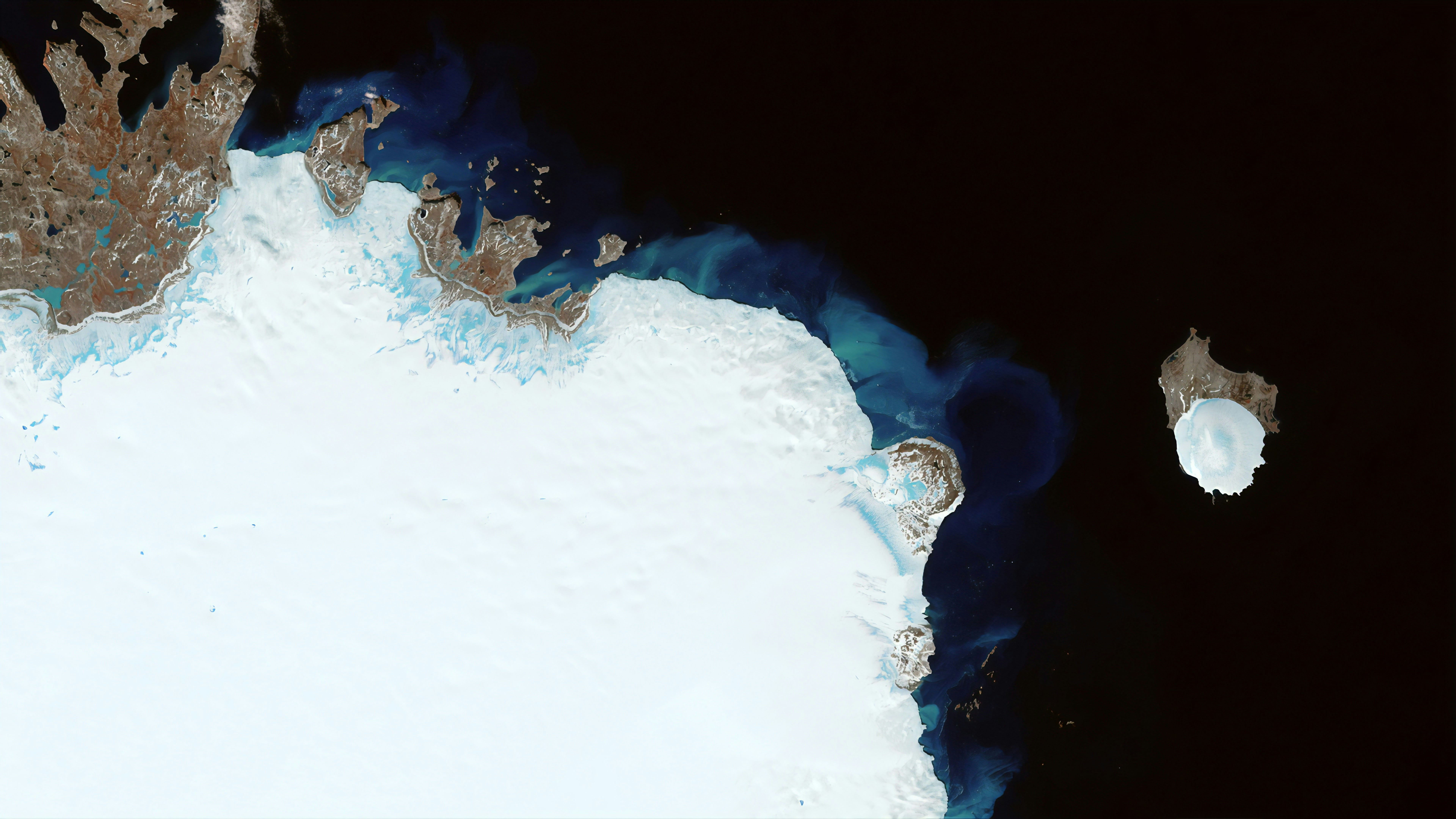
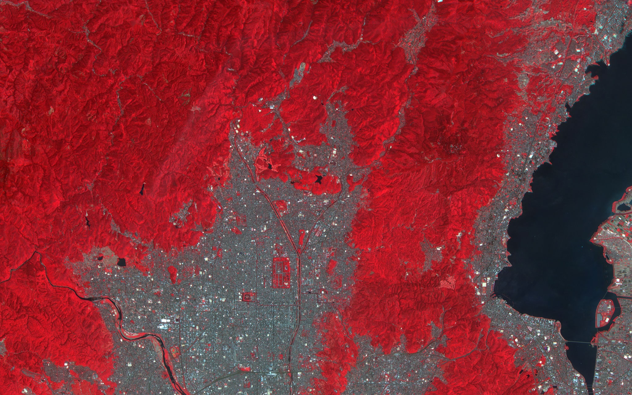
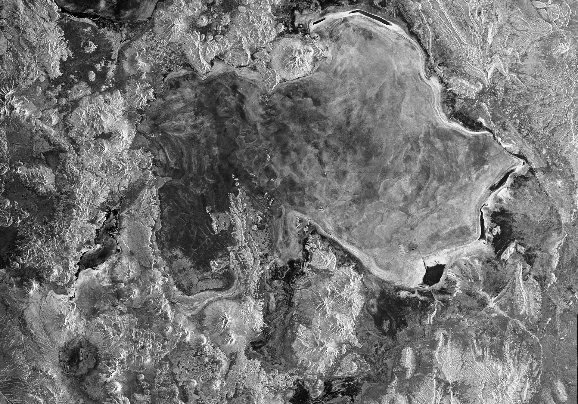
In addition to satellite data, we gather many other types of information about the territories, including elevation models, climate and remote sensing data. This comprehensive approach enhances the quality and depth of our dataset, providing accurate insights for decision-making.
We complement satellite data with “ground truth” information collected in the field, ensuring the accuracy and reliability of our analyses. Comprehensive field surveys and observations, provide crucial insights into the actual conditions of the ground.
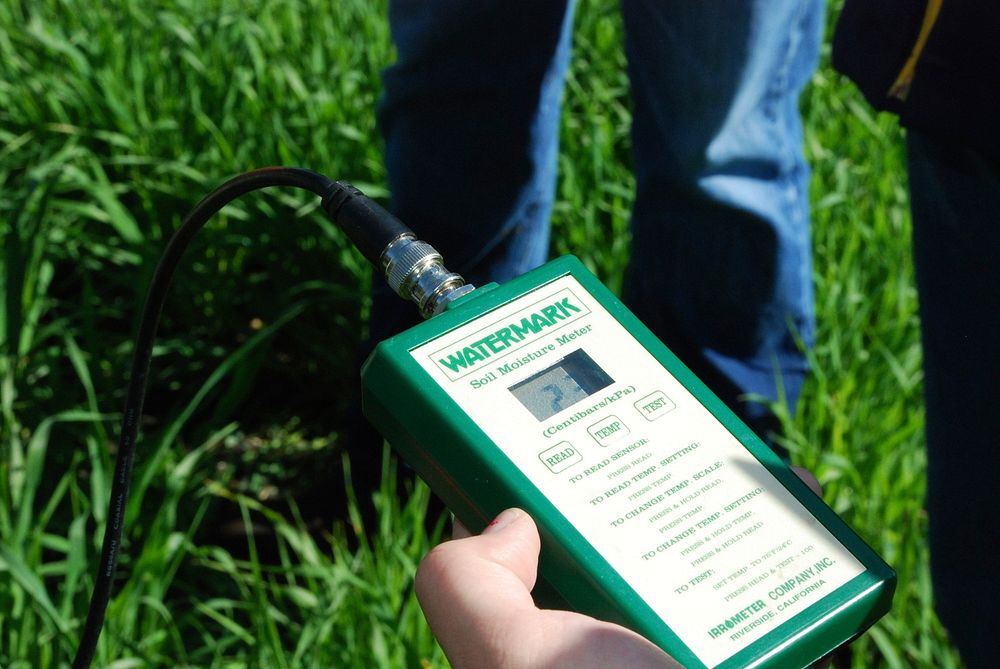
We train AI models to analyze our datasets and predict ground data accurately. Only algorithms that meet our stringent quality control standards, by accurately predicting ground truth data, are retained.

We recognize the unique characteristics of each territory, even within a single country. That's why we've developed distinct and reliable models tailored to each region, ensuring the delivery of the most accurate insights to our clients.
Finally, we provide our clients with access to this data through our platform, offering intuitive and interactive map data visualizations and more. This empowers them to delve deeper into their local environment, gaining a comprehensive understanding and followed by effective choices.
