Context
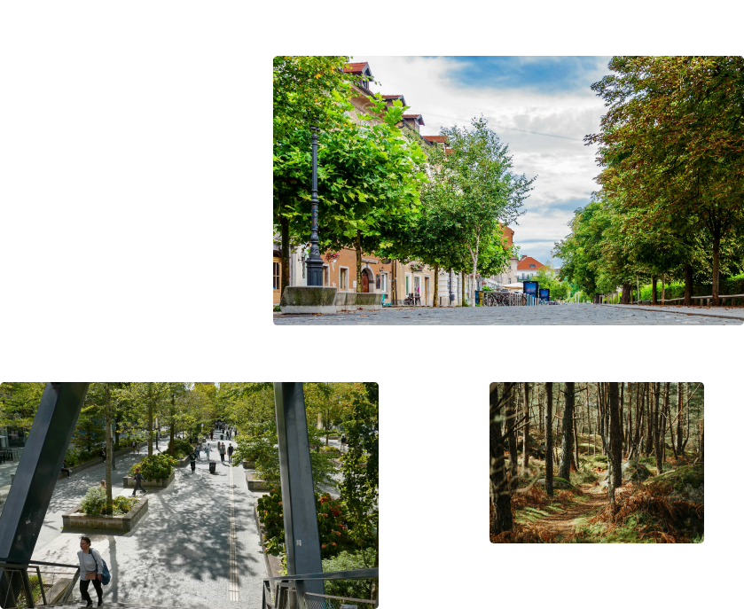
Heat Island, Landcover :Improve your urbanism plans
Obtaining high-quality data to monitor the environment is not always easy. The number of platforms is increasing, and data sources vary greatly in quality. That's why we have gathered all the data in one place, easy to analyze and export.


Hedges
Follow the evolution of hedgeson your territory
Monitor the health of vegetation, and more specifically the one of your hedgerows. Study the evolution of linear kilometers of hedgerows over the past 10 years, observe the trend, decide on the course of action for the future, and track the results of your campaign.
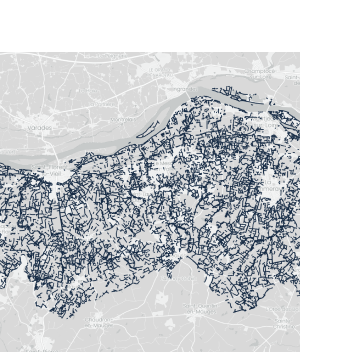
Linear hedgerows kilometres
-6.8 kmOf hedges lost in average over 2023.
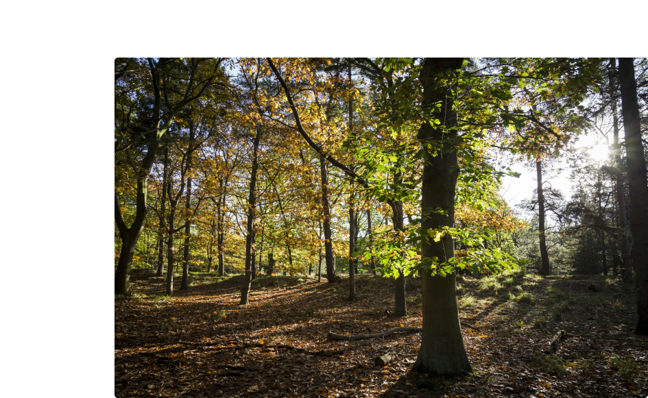
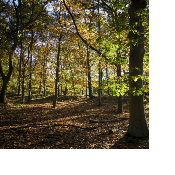
Vegetation health monitoring
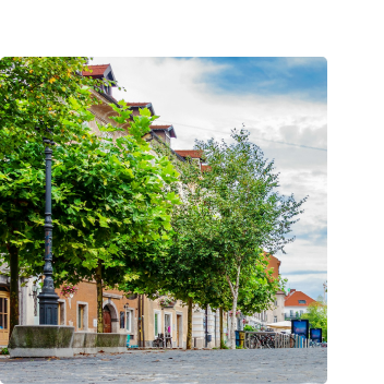
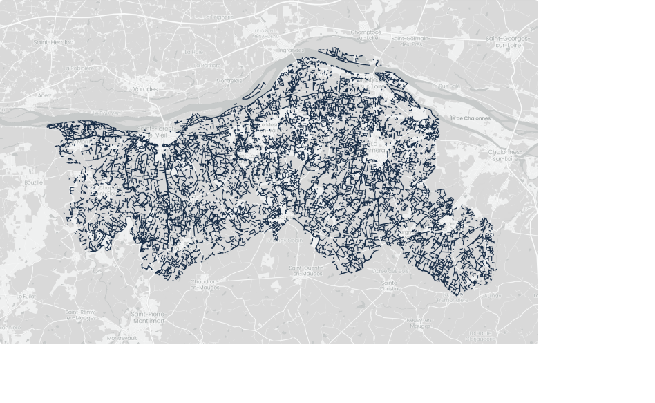
Monitor the vegetation healthand take care of your forests
Biomass
+2.1 %Increase of biomass into the forests monitored by Meteory
Analyze the health of vegetation and forest dynamics over the past years to identify trends in your territory, as well as potential threats such as wildfires, floods, or prolonged droughts. Optimize resource allocation and promote the sustainable growth of green spaces.
Climate Risks Prevention
Anticipate climate riskssuch as fires & floods
Thanks to our simulation models, identify the areas most exposed to flood risks in your territory, and adapt your local urban planning to move towards a more resilient urbanization.
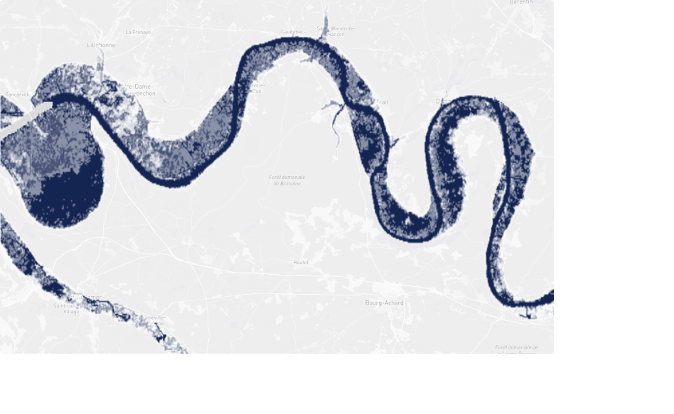
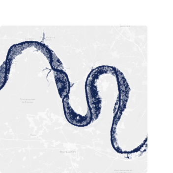
Flooding Risks
+4.3 %Flooding risk increase since 2021.