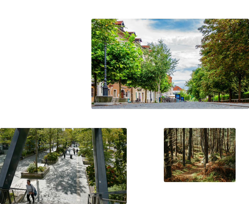
Heat Island, Landcover :Improve your urbanism plan
Obtaining high-quality data to monitor the environment is not always easy. The number of platforms is increasing, and data sources vary greatly in quality. That's why we have gathered all the data in one place, easy to analyze and export.

Tailor made Datasets forterritorial monitoring
Each dataset is easily usable and allows for the analysis of all aspects of a territory. We offer data on carbon storage, landscape, land use, climate risks, air quality, renewable energies, and much more. Our goal is to provide you with a tool where you can obtain all the data you need, in real-time, and at the appropriate scale.
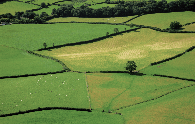
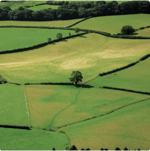
Follow the evolution of hedgeson your territory
Tracking the evolution of hedgerows is essential for territories. These natural structures play a significant role in carbon sequestration, biodiversity preservation, and the ecological integrity of rural and semi-urban landscapes. Meteory has successfully developed a solution that maps all hedgerows. This allows any territory to obtain its linear kilometer of hedges as well as their evolution over time.
Measure forests biomass& soil stored carbon
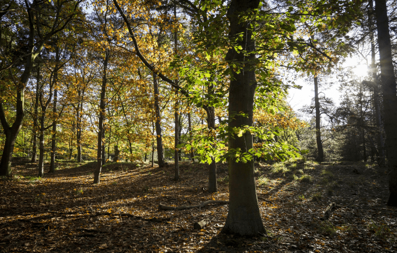

Biomass
+11.3 %Biomass growth in Meteory’s partners forests.
Biomass represents the amount of carbon stored above ground in forested areas. It is a key indicator for monitoring the growth and health of forests. This indicator allows our users to know how much carbon a forest stores at any given time, how it is evolving, and thus, how to best preserve it.
Anticipate climate riskssuch as fires & floods
Forecasting floods and wildfire risks is crucial for disaster management and population protection. Meteory offers an advanced solution that integrates historical and current data to model and predict these events accurately. Visualizing risk areas, anticipating potential impacts, and deploying effective intervention strategies. By using our dataset, users can track risk evolution, enhance community resilience, and optimize resources for emergency responses. Our models currently enable a 30 day risk forecast.
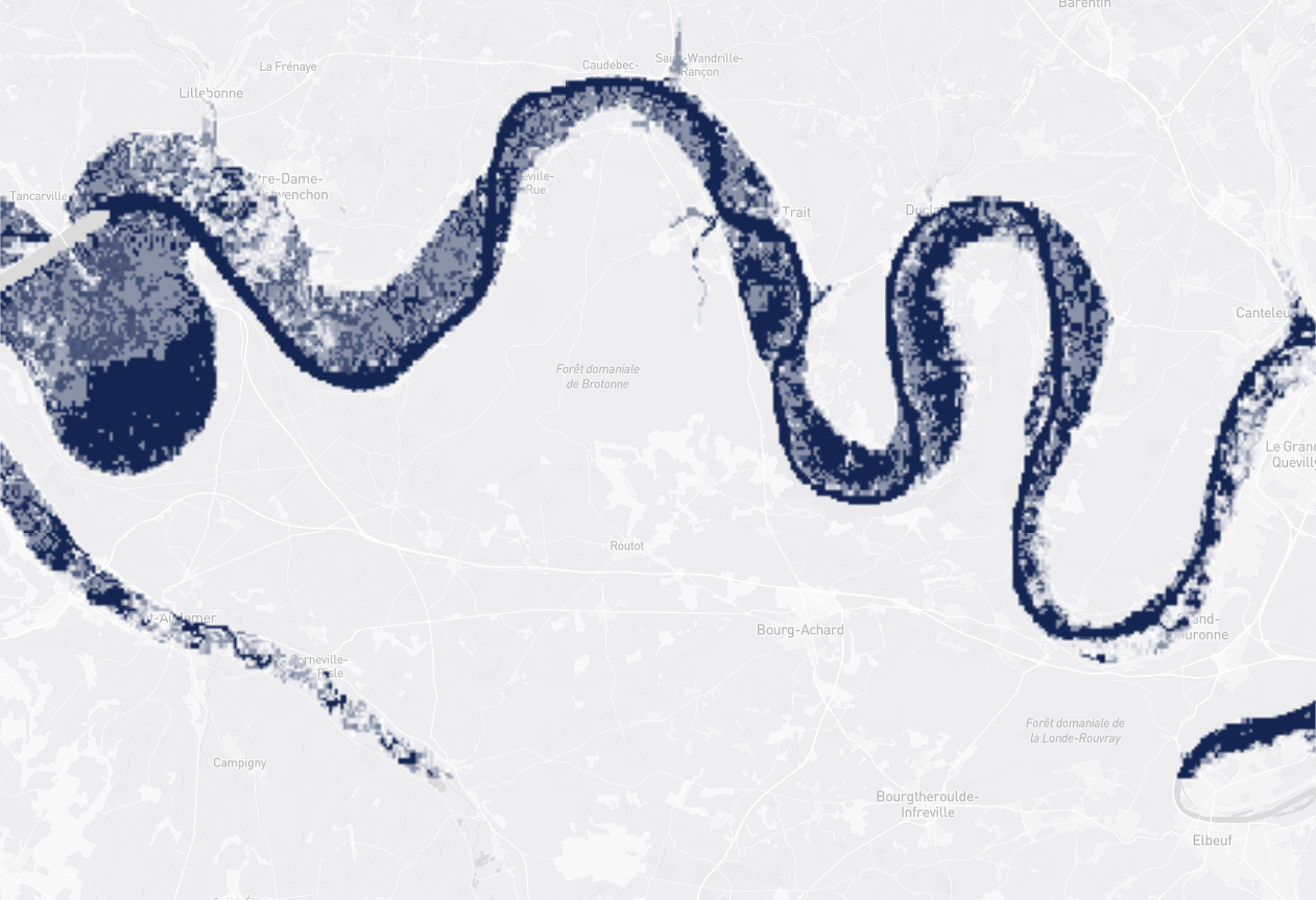
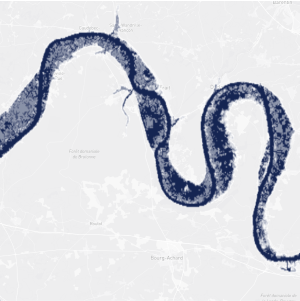
Flooding Risks
+4.3 %Flooding risk increase since 2021.
They trust us :


